The Transportation Incident Visualization (TIV) is a collaborative project developed in partnership with State Emergency Medical Services (EMS) Offices, subject matter experts from the U.S. Department of Transportation (USDOT), and ImageTrend.
The TIV will grant emergency services leaders, highway traffic safety and public health officials’ access to near-real time dashboards that identify high risk areas and behavioral trends of motor vehicle crash incidents. The collaboration between public and private entities will help reduce deaths and serious injuries, as well as prevent transportation-related incidents on the nation’s highway system.
Access to the TIV dashboard is authorized by each state’s EMS Director or Data Manager.
The purpose of the partnership is to provide near real-time EMS data that highlights MVC information vital to state, territorial and federal agencies, empowering them with timely and accessible visualizations designed for streamlined transportation safety problem identification and countermeasure planning needed to optimize the safety of the nation’s roadway network and its users.
Analyzing motor vehicle crashes, understanding why they happen, and what can be done to prevent them from happening is the intelligence gained. Working together, we will help all parties involved use dashboards to look at transportation incident insights from a predictive perspective.
Core Features Include:
Nationwide aggregation of transportation incidents.
Near real-time, configurable analytics.
Ability to analyze patient outcomes across the continuum of care.
Public displays of transportation incident analytics.
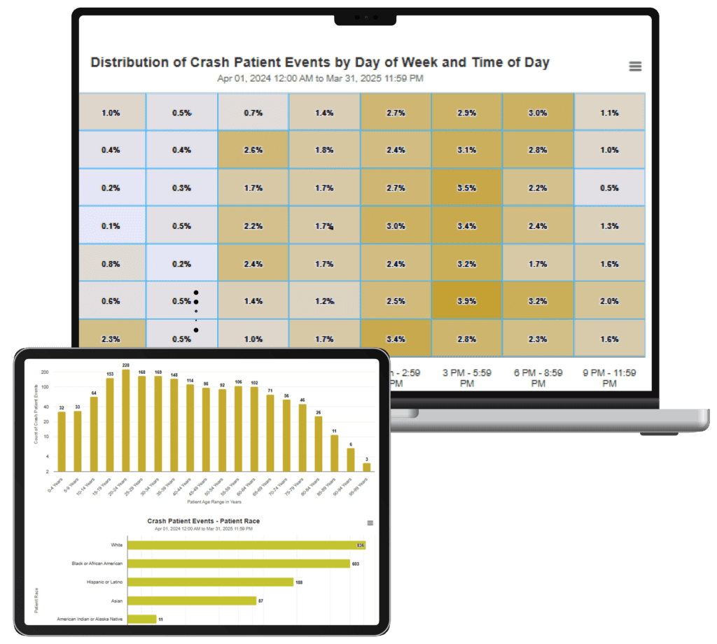
Dashboards will present detailed information on prehospital clinical care and injury characteristics, including the severity and type of injury (e.g., head injury, severe blood loss, etc.) as well as life-saving clinical interventions such as blood transfusion, respiratory support, and medication administration.
Dashboards will allow users to filter incidents based on pre-crash and incident characteristics, including geographic area; patient demographics; involvement or use of drugs or alcohol; vehicle type; vulnerable road user status; and road type.
View the Companion Guide for information regarding the criteria used to select records.
Discover how the Transportation Incident Visualization (TIV) project is transforming crash data into actionable insights for state EMS offices.
In this webinar, Jonathan Powell (Epidemiologist & EMS Researcher, ImageTrend) and Brandon Forbes (Product Owner, ImageTrend) walk through the TIV dashboards, showcasing their functionality and impact.
What You'll Learn
How TIV dashboards aggregate transportation incident data in near real-time.
Tools for analyzing crash severity, injury types, and pre-hospital care indicators.
Interactive mapping features, including heat maps, clusters, and trauma center overlays.
How filters and configurable analytics allow agencies to drill down by location, timeframe, or patient demographics.
A deep dive into the Blood Transfusion Dashboard, highlighting cases of hemodynamic instability and pre-hospital blood administration.
Key Takeaway
These collaborative dashboards—developed with state EMS offices, NHTSA, and in consultation with NEMSIS TAC—empower agencies with data-driven insights to reduce crash-related deaths and improve patient care.