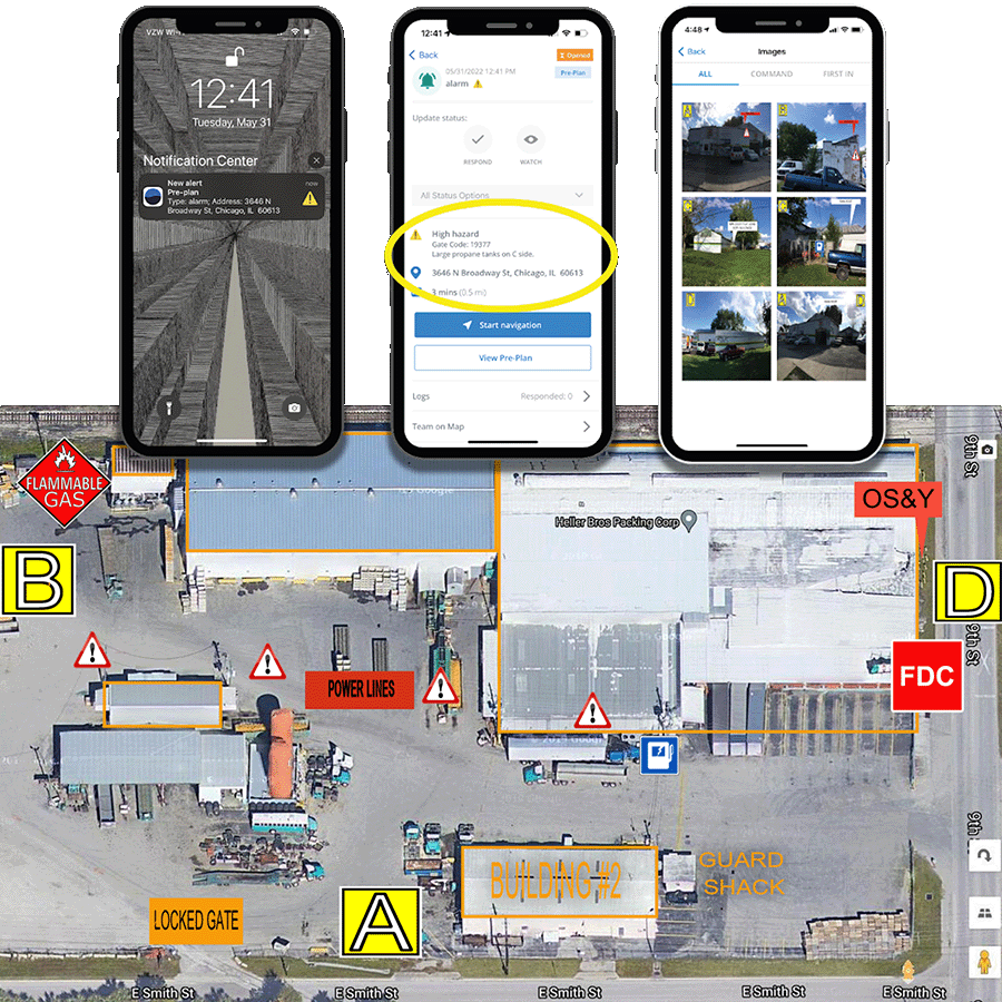
Complete building pre-plans in minutes, not hours. Designed for fire departments, our fire department pre plan software captures critical site details and potential hazards to improve situational awareness. Key features of our emergency planning software include:
5-minute building plan assessments
Instant access to floor plans & site data
Risk scoring & CAD integration
Easy program management
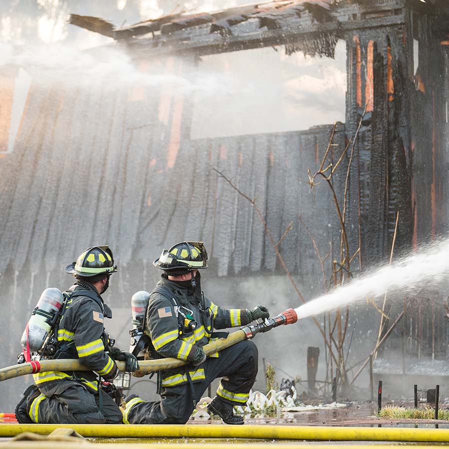
Fire Pre-Plan Software That Puts You and Your Crews’ Safety First
Report Writer
Transform your pre-incident plan data into actionable insights. Track KPIs, analyze trends, and measure performance with hundreds of built-in tasks & reports.
Visual Analytics
See your data clearly with dynamic mapping tools that reveal response patterns and coverage areas. Identify risks before they become emergencies.
Data That Works Together
Connect pre-incident plan information across teams with our integrated platform. From floor plans to hazard details, every insight helps crews respond smarter.
Pre-Incident Planning Software For Every Step of Your Emergency Response
Visual Pre Plans empower fire departments to make safer, more informed decisions at every stage. From pre-incident building assessments to real-time on-scene insights, your crews get the right information when it matters most with emergency planning software.
Fire pre-incident plan software is a digital tool that allows fire departments to collect, organize, and access critical building and site information before an emergency occurs. It digitizes floor plans, hazard locations, water supply points, and utility shutoffs so responders have instant access to tactical data on scene.
ImageTrend provides mobile-first tools that allow field crews and inspectors to map hazmat storage, entry points, and structural features directly from a tablet or mobile device. This field-captured data syncs to your central system, ensuring on-scene incident commanders have real-time visibility during active response.
Yes. ImageTrend’s platform supports secure data sharing and cross-agency interoperability. Participating mutual aid departments can access shared fire department pre-plan software and critical building layouts to coordinate a safer, more unified emergency response across jurisdictional lines.
Pre-plan data links directly with your CAD, RMS, and incident reporting modules. By capturing accurate property records, occupancy classifications, and structural details upfront, your department streamlines post-incident reporting and ensures compliance with NFIRS and emerging NERIS standards.
Yes. Field personnel can complete inspections, update pre-plan checklists, and capture spatial data even without active cellular or Wi-Fi connectivity. Once connection is restored, the system automatically syncs updates back to the primary database.